Get a topography of your solar site that is more accurate compared to traditional methods, at a fraction of the time and cost.
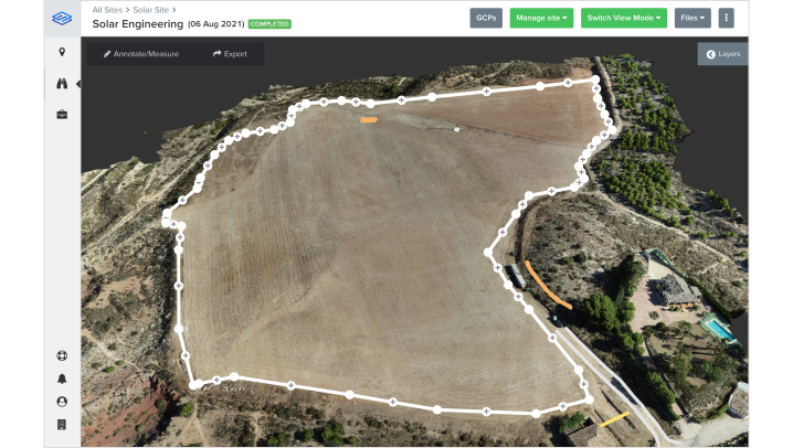


Survey your entire site in hours instead of days
Get a high-resolution view of your entire site at a fraction of the time and cost
- Fast centimeter-accurate drone surveys
- Extract key linework of important features
- Measure area, elevation, volumes and more
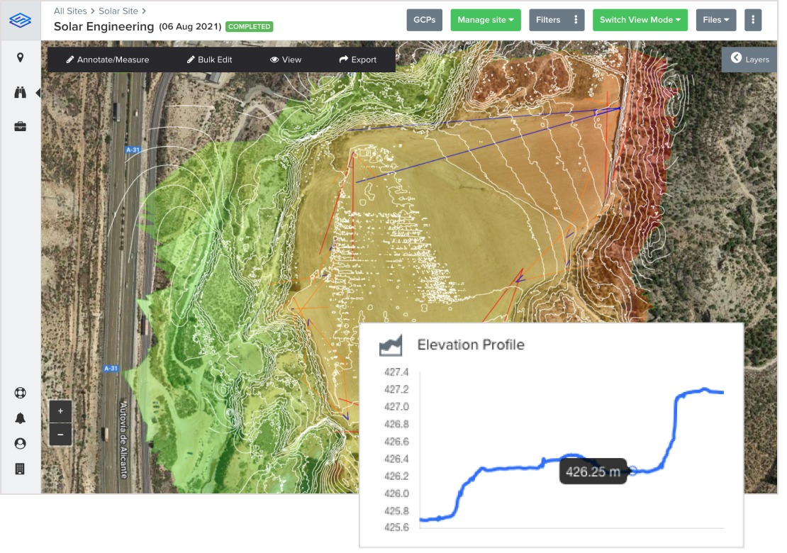
Maximize yield using high accurate topography
Create your design on a topography that matches the actual reality on the ground.
- Import SIDEREAL data directly into design software such as PVsyst/Helios3D/PVcase
- Automate creation of shading objects
- Easily identify areas needing ground-grading
Feature highlights
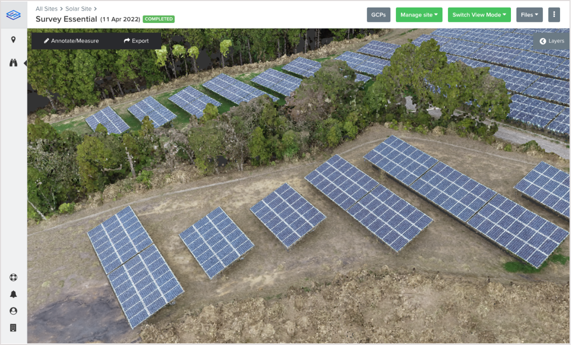
Online 3D viewer
Visualize your entire site in 3D right inside your browser. No software installation required.

Data Exports
Export all data in various formats such as DXF, LAS and TIFF for import in 3rd party software.
3D Measurements
Make 3D measurements right inside your browser. No software installation required.

CAD Design Files
Upload your CAD design files and visualize them instantly in your browser.
SIDEREAL covers your entire solar lifecycle
Engineering
Speed up design and maximize yield potential
Current Page
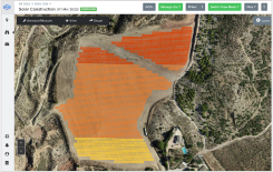
Construction
Stay on schedule and avoid costly mistakes
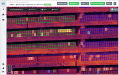
Operation
Maximize production and profitability
Accelerate your solar design process today
Our team is ready to answer your questions and show you SIDEREAL during a live demo.